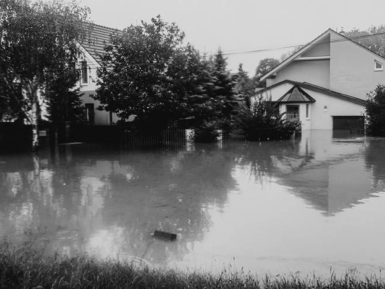
How Water Behaves Around Waller
Stand anywhere in Waller and the ground looks level in every direction. It nearly is. The town lies on open prairie on the divide between two creek systems. To the north, Spring Creek begins near Farm Road 1736, two miles west of Fields Store, and heads east past Tomball on its way to the San Jacinto River. To the southeast, about nine miles from town, Snake Creek and Mound Creek join to form Cypress Creek, which crosses into Harris County toward Cypress and Spring. With so little slope, a stalled storm fills fields, roadside ditches and streets well before the runoff finds either channel.
Two storms showed what that means. Overnight on April 17 and 18, 2016, the Tax Day storm put 10 to 20 inches of rain on a large part of Waller and northwest Harris counties in roughly 12 hours, and flooding shut US-290 at the county line. On August 26, 2017, during Hurricane Harvey, several lanes of US-290 at the FM 2920 intersection closed, and the National Weather Service reported significant home flooding along creeks and bayous across Waller County.
Notice what those two storms had in common. Neither needed a hurricane to make landfall nearby, and neither stayed inside a creek bank. The National Weather Service described rain rates above 4 inches an hour in April 2016, with a few volunteer gauges in Waller County measuring more than 20 inches. FM 362 and FM 359 went under water along with the highway. Rain that heavy floods places that are nowhere near a mapped stream.
That is why this page exists. A homeowners, renters or business property policy does not pay for flood damage. In Waller, flood is a separate decision, made in advance.
Flood Damage vs. Water Damage
The two sound alike and are insured separately.
- Flood: water that rises from outside and covers land that is normally dry. Rain that cannot drain, sheet flow across a pasture, a ditch or creek out of its banks. Covered only by a flood policy.
- Water damage: a burst pipe, a failed water heater, rain coming through a storm-damaged roof. These are questions for your home insurance or renters insurance.
Inside the Mapped Floodplain vs. Outside It
FEMA flood maps assign every property a zone. The difference matters mainly for whether coverage is required.
Zones starting with A (Special Flood Hazard Area)
- Rated high risk.
- Lenders require flood insurance on federally backed mortgages.
- Expect to need a floodplain development permit from the local office before building or adding on.
Zone X
- Rated moderate or low risk.
- Flood insurance is optional and generally costs less.
- Low risk on a map does not mean no risk on the ground. Many Texas homes that flooded in recent storms were outside mapped high-risk areas.
Flood maps are revised from time to time, and land around Waller is developing quickly. If you are buying in a new section, ask the builder which zone the lot is in today and whether any map change is pending.
Waller County vs. Harris County: Who Has Your Flood Map
Three different local governments handle floodplain questions for addresses that all say Waller, TX. Work out which one is yours first.
- City of Waller. City Hall, 1218 Farr Street, (936) 372-3880, for permits and questions about property inside the city limits.
- Unincorporated Waller County. County Engineer's Office, 775 Business 290 East in Hempstead, (979) 826-7670.
- Unincorporated Harris County. Harris County Engineer's Permits Division, (713) 274-3900. The division can give an unofficial reading of whether a property is in a flood hazard area, and the Harris County Flood Control District publishes an online Flood Education Mapping Tool.
- Any address. The FEMA Flood Map Service Center shows the current effective map.
Mortgage and insurance companies often want an official flood zone determination, not a phone answer, so keep the one your lender orders at closing.
NFIP vs. Private Flood Insurance
National Flood Insurance Program
- The federal program managed by FEMA. Most flood policies in Texas are written through it.
- Single-family home limits: up to $250,000 for the building and up to $100,000 for contents.
- New policies generally start 30 days after purchase, with limited exceptions such as a policy bought in connection with a home loan closing.
- A standard policy does not pay temporary living expenses.
Private flood
- Sold by private insurers.
- Sometimes offers higher limits, a shorter waiting period, or added coverage such as living expenses.
- Availability and price depend on the individual property.
Building Coverage vs. Contents Coverage
These are two separate coverages with separate deductibles, and you have to choose each one.
- Building: foundation, walls, electrical and plumbing systems, water heater, heating and cooling equipment, built-in appliances and flooring.
- Contents: furniture, clothing, electronics and other belongings.
- Neither one: vehicles (those need comprehensive auto insurance), landscaping, fences, pools and most property outside the building. On acreage, that means fencing and many outdoor items are not covered by flood insurance.
Owner, Renter or Business: What Each Can Buy
- Homeowners can insure the building and the contents. With a mortgage in a high-risk zone, the lender sets the minimum.
- Renters can buy a contents-only flood policy. The owner is responsible for the structure.
- Businesses can buy commercial flood coverage for a building and what is in it, alongside their business insurance.
Before You Buy or Lease in Waller: A Flood Checklist
- Confirm the county and whether the property is inside the city limits.
- Look up the flood zone, and ask the right office above if the map is unclear.
- Ask the seller or landlord directly whether water has ever entered the building, including in April 2016 and August 2017.
- Ask about past flood claims on the property.
- Drive the route out during a heavy rain. Know which low crossings on your road hold water.
- Get a flood quote before closing, so the cost is part of your budget.
- Count 30 days back from the start of hurricane season on June 1. That is the latest sensible date to buy.
Getting Flood Coverage for a Waller Property
Begin by asking a local agent to look at your current policy and your flood zone with you, then compare NFIP and private options. Because of the waiting period, this is a conversation for a dry week, not for the day a storm enters the Gulf. Contact our preferred local insurance agent to start it, or use the quote checklist to gather your property details first.
Flood Insurance in Waller: Common Questions
Has the Waller area actually flooded, or is this a Houston problem?
It has flooded. The National Weather Service recorded 10 to 20 inches of rain across much of Waller and northwest Harris counties in about 12 hours on April 17 and 18, 2016, and US-290 closed at the county line. During Hurricane Harvey in August 2017, lanes of US-290 at FM 2920 near Waller closed and the agency reported significant home flooding along creeks across Waller County.
Which creeks affect Waller?
Two systems begin close by. Spring Creek rises in northeast Waller County west of Fields Store and flows east toward Tomball. Cypress Creek forms southeast of Waller where Snake Creek and Mound Creek meet and continues into Harris County. In the heaviest storms, water also spreads across the flat prairie between channels.
My lender says my Waller home is in Zone X. Do I still need flood insurance?
It is not required in Zone X, so the choice is yours. Coverage there generally costs less than in a high-risk zone, and many Texas homes that flooded in recent storms were outside the mapped high-risk areas. Ask for a quote so you can weigh the cost against the uninsured repair bill.
Who do I call about the flood map for my property: Waller County or Harris County?
It depends on where the property sits. Inside the city of Waller, start with City Hall. In unincorporated Waller County, call the County Engineer's Office in Hempstead. In unincorporated Harris County, the County Engineer's office is the floodplain administrator and its Permits Division takes map questions. Anyone can also search the FEMA Flood Map Service Center by address.
How soon does a new flood policy start?
New National Flood Insurance Program policies normally take effect 30 days after purchase, with limited exceptions such as a policy bought in connection with a home loan closing. Private insurers may use a shorter waiting period. Either way, coverage cannot be arranged once a storm is already on the way.
What are the NFIP coverage limits for a house?
Up to $250,000 for the building and up to $100,000 for contents on a single-family home. Building and contents are separate coverages with separate deductibles. Private flood insurers may offer higher limits.
I rent near Waller. Can I get flood insurance without owning the building?
Yes. Renters can buy a contents-only flood policy to cover their belongings. It is separate from renters insurance, which excludes flood.